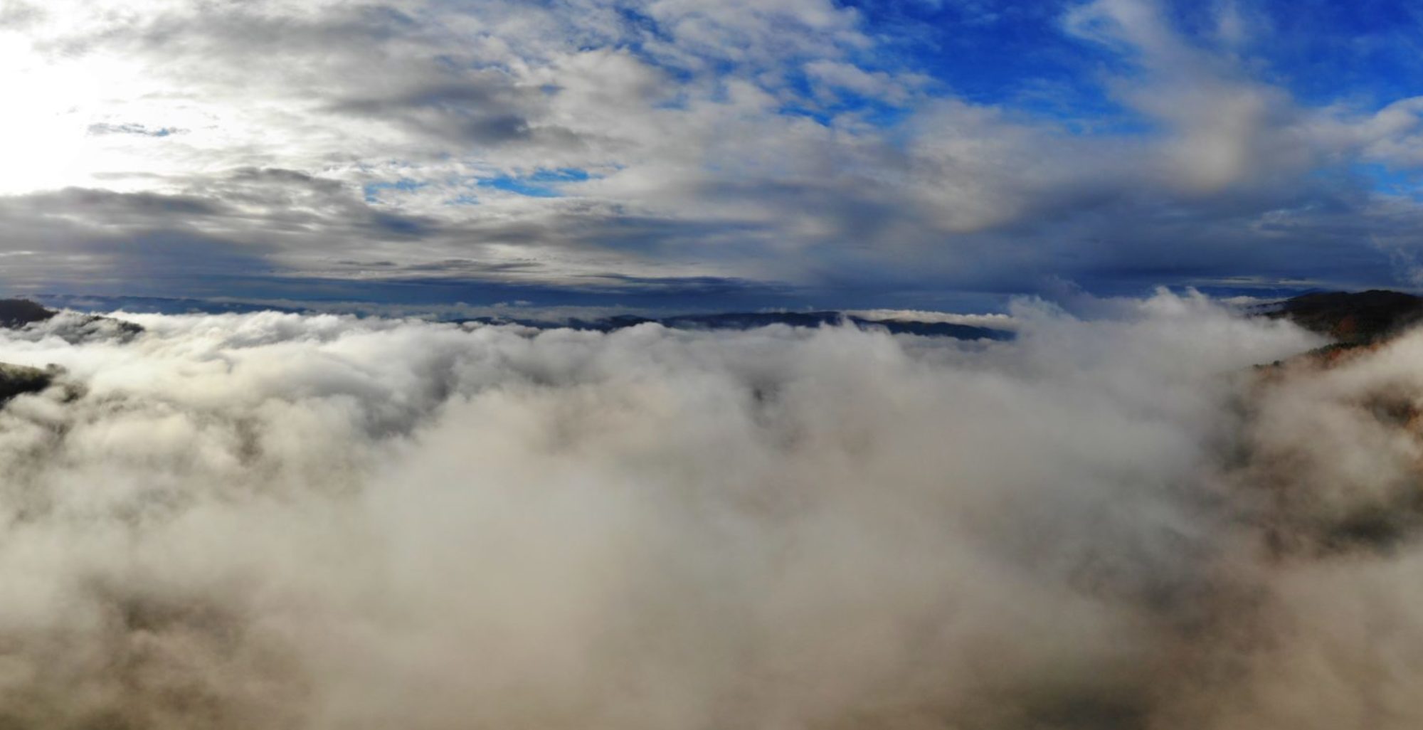
Ever since there were photography and airplanes, people took aerial pictures.
Whether it was for taking aerial pictures and videos or for big area survey and analysis.
The further the technology moves, the more important aerial pictures are becoming.
Since the introduction of drones into the civil market, the need and use of aerial photography and remote sensing exploded.
Improving of technology and drastically decreasing of costs makes the range of the possible end user much bigger!
Feel free to contact me!
Whether if you just want to have a aerial picture or video of your new house or for example a wedding, a 3D model of your new garden or real estate object or a digital elevation model for a future construction.
Of course I can also help you to monitor a ongoing construction.


